Starts 10 minutes north
The Three Capes Scenic Loop
Forty miles of headlands, old-growth and empty beaches between Tillamook and Pacific City. The one thing to sort before you set off is whether the whole route is open — it has a history.
Updated November 5, 2026
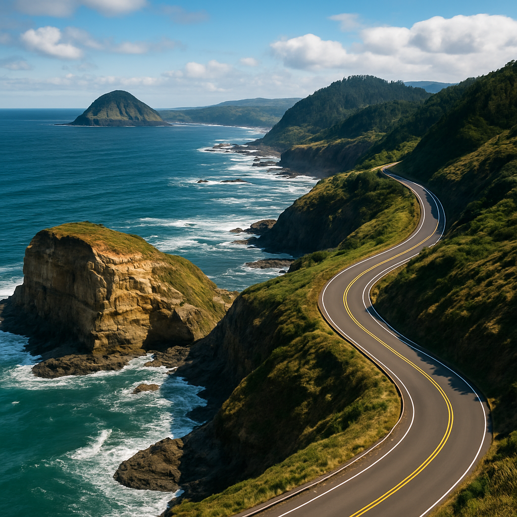
Highway 101 is the fast way between Tillamook and Pacific City. The Three Capes Scenic Loop is the good way: roughly forty miles of coast road that leaves 101 and threads along the shoreline past three headlands, two small beach towns and a stretch of dunes, before rejoining the highway further south.
It takes about ninety minutes without stopping, which nobody does. Give it most of a day.
Check the route is open before you commit
This road has a history. The Cape Meares section was closed by landslides for about a decade and only reopened on a new alignment in late 2023, and that alignment is steep enough to close in ice or snow. A separate stretch between Tierra Del Mar and Pacific City failed soon afterwards, with Highway 101 as the detour. Check ODOT TripCheck or the Tillamook County road page the morning you go — a closure turns the loop into two dead ends.
Which direction to drive
From here, going north first and driving the loop anticlockwise works best. You get Cape Kiwanda early while the morning light is still on the dune, reach Cape Lookout around the middle of the day when you want the walk, and end at Cape Meares for the late light on the lighthouse. It also puts you on the ocean side of the road for most of the drive, which matters more than it sounds.
Cape Kiwanda
The southern cape and the busiest of the three: a sandstone headland with an enormous dune piled against it, the dory fleet launching off the beach, and a sea stack offshore. It is the one place on the loop that reliably has a crowd, and the one with a brewery on the sand.
The dune climb is short, steep and harder than it looks. Stay behind the fencing past the top — the cliffs are undercut and the rock gives way.
Cape Lookout
The middle cape, and the best walk on the loop. A forest trail runs right out along the spine of the headland to a viewpoint at the tip, about two and a half miles each way, through old growth with the ocean dropping away on both sides. It is mostly level but almost always muddy, and the drop-offs are real.
It is also one of the better whale-watching spots on this part of the coast — the headland reaches far enough out that the migration passes close. There is a state park with camping and beach access on the north side.
Cape Meares
The northern cape, and the quietest. The lighthouse here is the shortest on the Oregon coast, sitting low on the headland rather than towering over it, with a short paved path down to it and big cliff views on either side.
A few minutes away is the Octopus Tree, a Sitka spruce that grew with no central trunk and instead sends six huge limbs out sideways before turning upward. Nobody is quite certain why. It is worth the five-minute walk.
The bits between the capes
- Oceanside — a tiny village stacked up a hillside, with a beach you reach through a tunnel bored into the rock. Easy to drive past; do not.
- Netarts Bay — shallow, calm and full of birds, with crabbing and clamming when the tide suits.
- Sandlake and Tierra Del Mar — dunes and a long quiet beach between the middle and southern capes.
- Anderson’s Viewpoint — a pull-out above Netarts Bay that gives you the whole spit in one go.
Practical details
- Length
- About 40 miles, Tillamook to Pacific City
- Driving time
- 90 minutes without stops; allow a day
- Best direction
- North first, then anticlockwise
- Parking
- State park day-use fees apply at Cape Lookout
- Before you go
- Check ODOT TripCheck for closures
- From Salty Views
- The southern end starts about 10 minutes north
Go in the off season
The loop is at its best from October through April. The headlands are dramatic in weather, the pull-outs are empty, and you can park at Cape Kiwanda without circling. Take the rain gear and treat the showers as part of it.
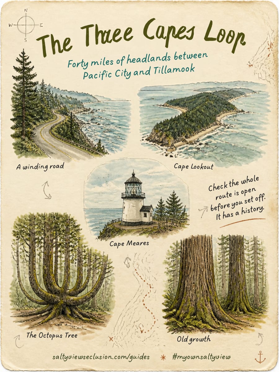
Save it, screenshot it, take it with you. If you find one of these, tag it #myownsaltyview and we will see it.
@saltyviewseclusionCommon questions
What are the three capes on the Three Capes Scenic Loop?
Cape Meares in the north, Cape Lookout in the middle, and Cape Kiwanda in the south at Pacific City. The route runs roughly forty miles between Tillamook and Pacific City, leaving Highway 101 to follow the coast.
Is the Three Capes Scenic Loop open?
Usually, but it has a history of closures. The Cape Meares section was shut by landslides for about a decade before reopening on a new alignment in late 2023, and that alignment can close in ice or snow. A separate stretch between Tierra Del Mar and Pacific City failed shortly afterwards. Check ODOT TripCheck before you set off.
How long does the Three Capes Loop take to drive?
About ninety minutes of driving without stopping, but the stops are the point. Allow most of a day if you want to climb the dune at Cape Kiwanda and walk out to the end of Cape Lookout.
Which cape has the best hike?
Cape Lookout. The trail runs about two and a half miles each way along the spine of the headland through old growth to a viewpoint at the tip, with the ocean on both sides. It is mostly level but muddy year round, and it is a good whale-watching spot during the migrations.